National Geographic
National Geographic High Uintas Wilderness #711 Topographic Map
Details
Item No. 74971701711
14.95
$14.95

National Geographic High Uintas Wilderness #711 Topographic Map
National Geographic
National Geographic High Uintas Wilderness #711 Topographic Map
National Geographic
false

Get a $70 E-Gift Card When Instantly Approved
and use your new SCHEELS® Visa® online today.
Product Details
National Geographic High Uintas Wilderness #711 Topographic Map
74971701711
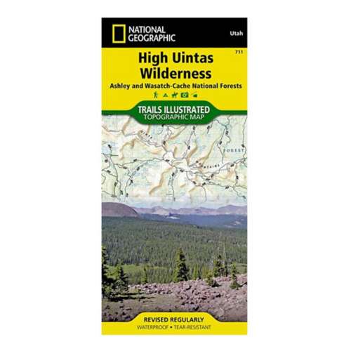
This Trails Illustrated topographic map is the most comprehensive recreational map for Utah's High Uintas Wilderness area. Coverage includes: Wasatch-Cache National Forest; the entire High Uintas Wilderness and surrounding backcountry; Hoop, Brown, Moon, Crystal, Little Lyman and Atwood lakes; Paradise Park, Cedar View, Upper Stillwater and Whitney reservoirs; Red Knob, Squaw, Smith Fork, Anderson, and Thompson passes.